
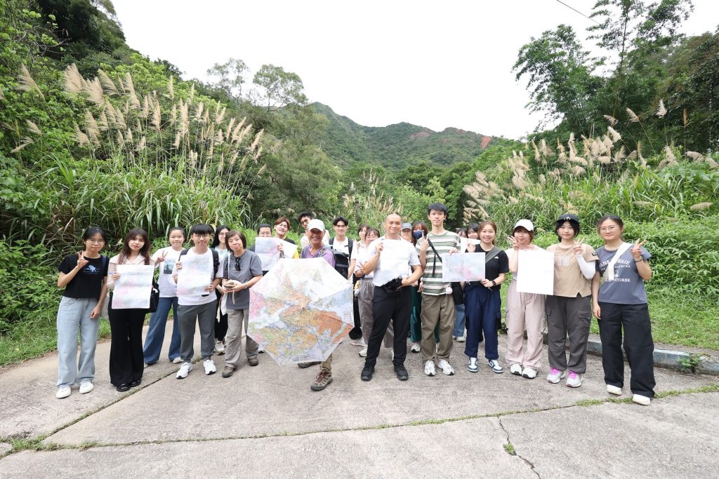
To deepen students’ understanding of map coordinates, Hong Kong geological maps, and their applications in interpreting local landforms and landscapes, the College of International Education (CIE) organized a professional training workshop for Geography and Resources Management (GRMG) students. The workshop integrated geography, history, and conservation elements, featuring both a hands-on map reading session and a geology field trip in the Ma On Shan countryside.
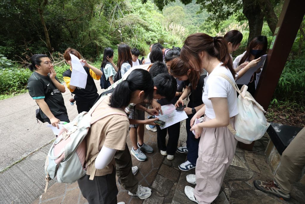
Led by Mr. Raymond Poon, a highly experienced geotour guide in Hong Kong, the workshop began with an introduction to various types of world maps and essential skills in map reading and coordinate checking. Mr. Poon shared his extensive knowledge of local rocks, landforms, and geological features. For instance, students learned how to use maps to explore topography, rock types, geological ages, and other site-specific information. Personally, I was struck by how much world maps can distort reality. Since they attempt to flatten a 3D surface onto a 2D plane, distortions in area and shape are inevitable. The Mercator projection, for example, makes Greenland appear nearly as large as Africa—an obvious inaccuracy!
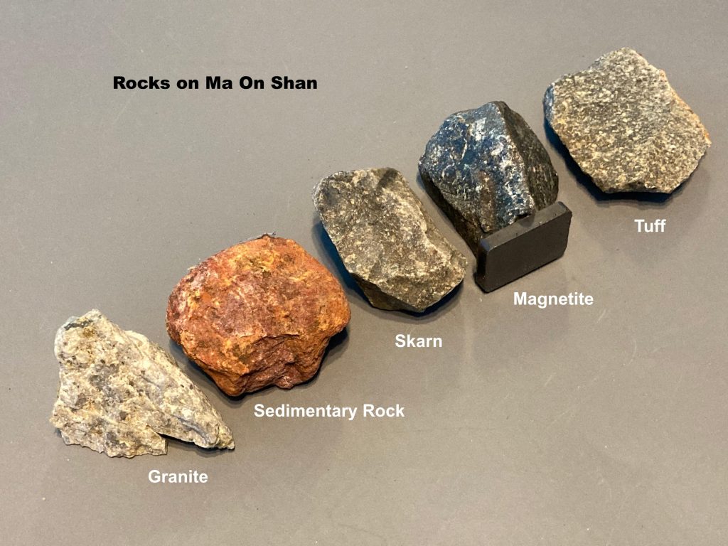
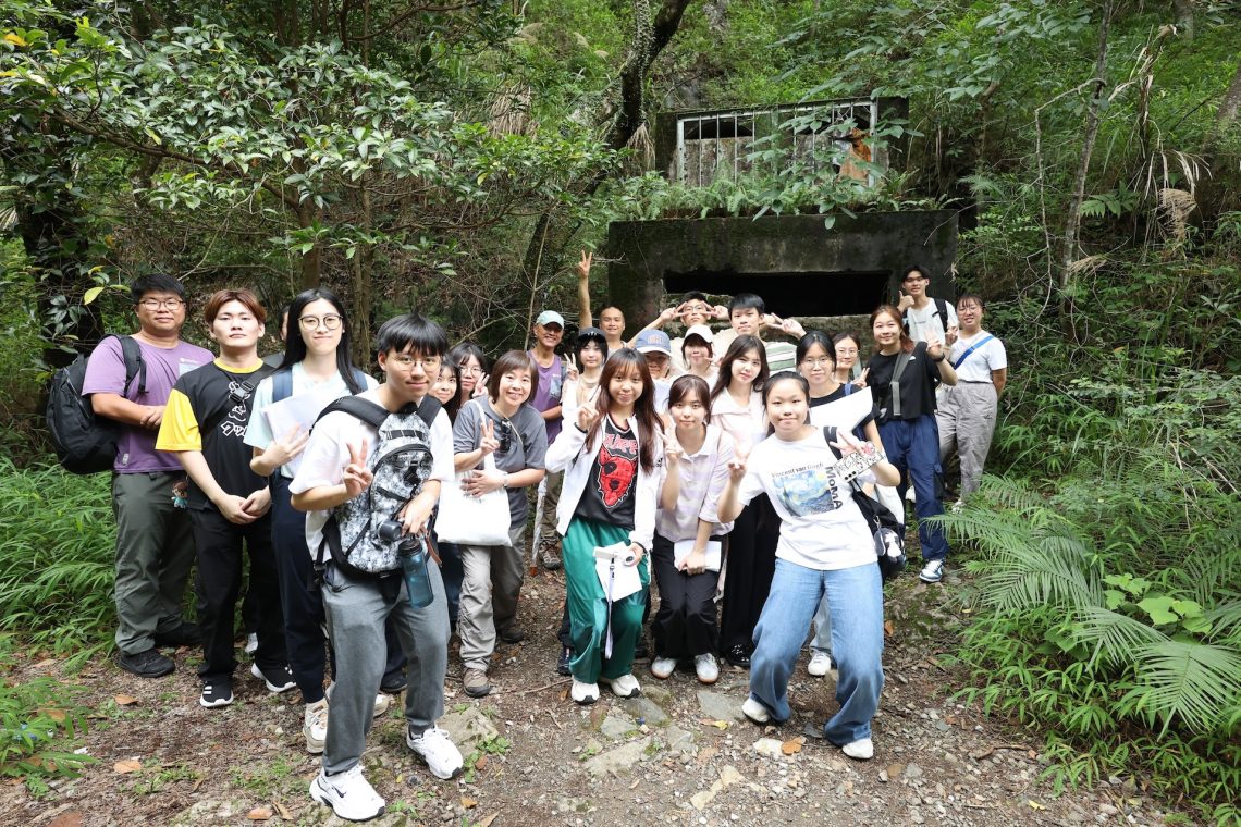
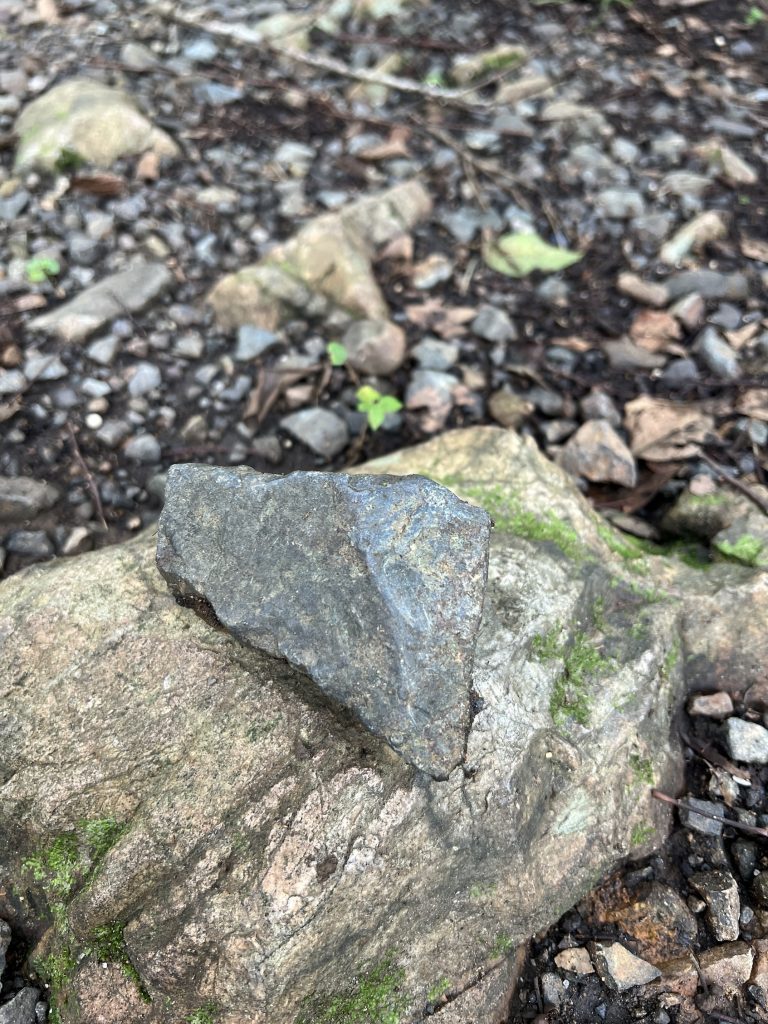
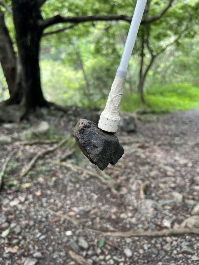
After the morning training, GRMG students headed to Ma On Shan to explore its rich geological and historical landscape. We visited the Ma On Shan Closed Iron Mine, once Hong Kong’s largest commercial mining site, known for its magnetite reserves estimated at seven million tons. At its peak in the 1950s–60s, over 3,000 miners worked daily. We observed magnetite deposits and skarn formations while learning about the mine’s decline in the 1970s due to global shifts in steel demand. The resilience of the miners, who worked through harsh conditions, left a lasting impression on us.
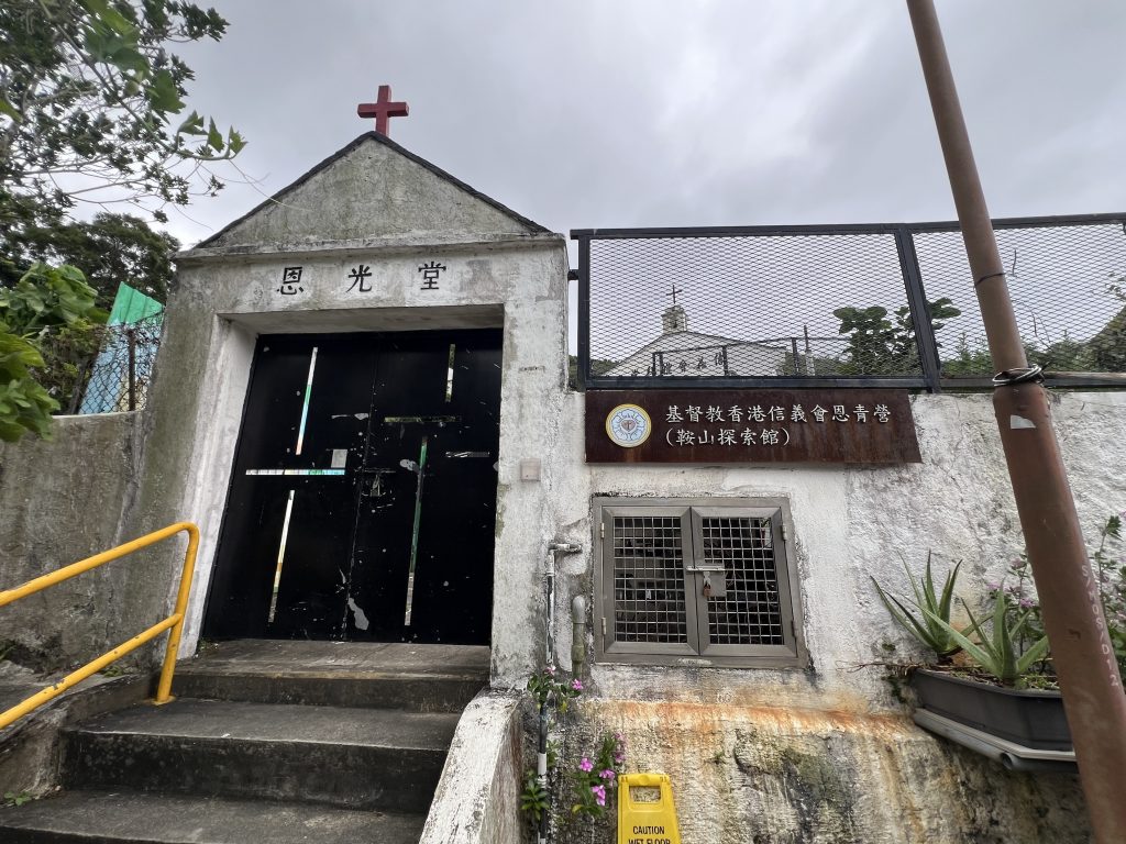
We also visited the nearby mine village and the Lutheran Yan Kwong Church, which once served as a school for local children. This visit highlighted the community’s dedication to education despite tough living conditions. Preserving these historical sites is vital for understanding the lives of past generations and the importance of conserving both cultural and geological heritage.
Overall, the workshop was an enriching experience for GRMG students. As Vice-President of the “Utopia” GRMG Society, I believe transitioning from classroom learning to field exploration allows students to engage with the environment in a more tangible and meaningful way. Some lessons can only be truly understood through personal experience—something that textbooks alone cannot provide.
Written by Mr. Lee Chun Lung Samuel, GRMG Year 2 student and Vice-President of the “Utopia” GRMG Society
